|
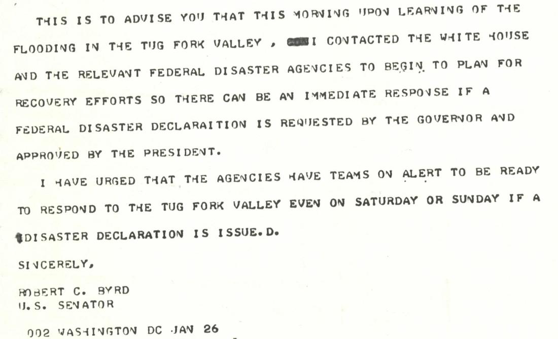
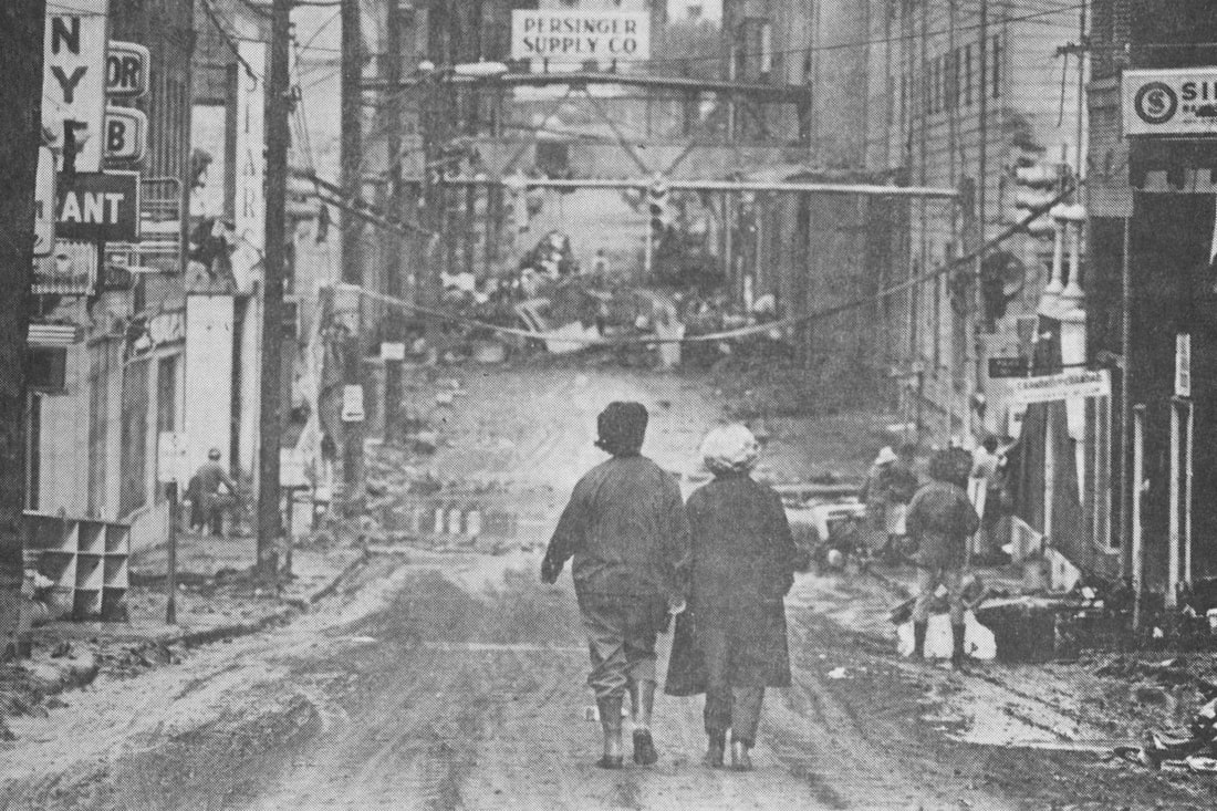
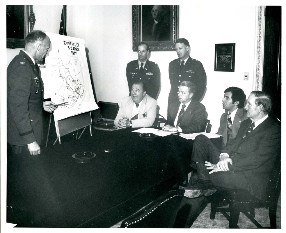
By Jody Brumage On the morning of January 26, 1978, after returning to Washington D.C. after a tour of flood-ravaged towns in the Tug Fork Valley, Senator Byrd’s office sent a telegram to state agencies notifying them that President Carter had been briefed on the disaster and that assistance was being sought immediately. This message was less than reassuring to its recipients who had heard similar promises frequently over the past several years. The January 1978 flood was the tenth major disaster to impact the Tug Fork region in a decade. The previous year, the worst of these floods, with waters rising in excess of 56 feet, struck the valley in April. For residents in the Tug Fork, promises of “immediate action” were appreciated, but permanent flood control infrastructure in the valley was greatly needed. The Tug Fork Valley forms the southern border of West Virginia with the river being the boundary between it and the neighboring state of Kentucky. The valley is characterized by narrow gorges with room for little else besides the river and scattered communities. In the early-20th century, this region boomed as the “million dollar coalfield.” Cities like Welch, Logan, and Williamson grew to support the coal industry as major rail depots for exporting coal. By the 1970s, decades of decline in the coal industry had taken their toll on the region. West Virginia’s southern coalfields were filled with small towns that had formerly been owned by coal companies. These companies provided the infrastructure and services in the towns and without them, those left behind faced significant challenges in the increasingly impoverished area. To make matters worse, the Tug Fork is highly-prone to devastating flooding. The consequences of extractive industries like coal mining and timbering weakened topsoil layers, leading to greater amounts of runoff when heavy rains soak the region. Between 1946 and 1978, there were 24 major floods in the region, an average of one every 1.3 years. Four of these floods had topped out over 40 feet. Cities and towns in the Tug Fork Valley, built on the few level places available, were all located along the river, making them extremely-susceptible to significant damage from these floods. In the spring of 1977, the worst flood in recent history to hit the Tug Fork Valley saw the river rise upwards of 56 feet, devastating already damaged towns and communities. Senators Byrd, Jennings Randolph, and Congressman Nick Joe Rahall, the district’s newly-elected representative, visited the Tug Fork Valley to inspect the damage. Returning to Washington, Senator Byrd requested aid from the President’s Disaster Relief Fund, receiving $52,183,000 that was used to provide temporary housing, unemployment benefits, and funds for immediate repairs to public facilities. This aid, along with small business and Department of Housing and Urban Development loans brought much needed assistance.
In part II of this series, we will examine how the delegation finally moved the Tug Fork Valley flood project forward.
Comments are closed.
|
Welcome to the Byrd Center Blog! We share content here including research from our archival collections, articles from our director, and information on upcoming events.
Categories
All
Archives
July 2023
|
Our Mission: |
The Byrd Center advances representative democracy by promoting a better understanding of the United States Congress and the Constitution through programs and research that engage citizens.
|
Copyright © Robert C. Byrd Center for Congressional History and Education
|


 RSS Feed
